
Which Texas Neighbors Appear in Block Records
No public source gives a complete Texas block roster or a county-wide resident list. A county appraisal district can name an owner and show a tax mailing address; a local GIS map can place the parcel beside other lots. A clerk deed index supplies recorded transfers, while voter and association records answer narrower questions. Texas has no statewide parcel viewer, so the right county follows the parcel's physical location rather than its postal city.
| Source | What It Can Show Nearby | How to Reach It |
|---|---|---|
| County or city GIS | Parcel shapes, adjacent lots, jurisdiction, and local map layers | Local viewer; available layers vary |
| County appraisal district | Owner, situs and mailing addresses, parcel ID, legal description | Local CAD site; Comptroller directory routes by county |
| County clerk | Recorded deeds, plats, liens, and legal descriptions | Local index, public terminal, or copy request |
| Voter registration | An individual's status and limited election fields | VoteTexas self-lookup; full lists by Chapter 18 request |
| Association registries | Voluntary group contacts, boundaries, or meeting details | City registry or published organization page |
These sources describe parcels, people, or groups separately. An owner may live elsewhere, one lot may contain several households, and a neighborhood boundary does not publish its members. Read each name with its record type and date.
The county remains the routing key even when an address uses a nearby city's postal name. If a CAD or clerk site lacks an address field or older dates, ask about its public terminal, written request route, or earlier books; an incomplete online index does not establish that no record exists.
On a multi-unit site, one appraisal parcel may cover several addresses or households. A GIS polygon does not list every door or person; compare the CAD situs and legal description with the recorded plat before treating map labels as separate properties. The clerk's instrument index can help resolve a lot or block description.
Walk Outward from One Texas Address
The adjacent-parcel method starts at a verified address point and moves across the map, one polygon at a time. A buffer can find nearby features where a viewer offers one, but a distance ring is not a legal block edge. A road, alley, creek, or oddly shaped parcel may separate places that look close on screen.
- Search the local map for the full address and select the matched point, not just a street-range label.
- Check the county, city, and jurisdiction shown for that point before choosing an appraisal or clerk office.
- Select the target parcel, then inspect adjoining polygons on each side of the street and behind the lot.
- Write down each parcel ID and address, then open the matching appraisal account for owner and mailing details.
- Record the map date, layer names, and any barrier or boundary that changes what counts as nearby.
This keeps a block inquiry focused on the parcels around one location. If the question expands to every address along a named road, follow the Texas street-by-street record chain instead of treating a radius as a full street search.
Austin's Property Profile guide documents optional 250-, 500-, and 1,000-foot buffers. Use a measured ring only when the local viewer offers it: it does not define a legal block, and it may cross a street, creek, or association line. Other Texas maps can expose different layers or no buffer control.
Texas Block Parcel IDs and Field Notes
Keep the address point, parcel ID, owner spelling, mailing address, legal description, key overlays, record references, and source date in separate fields. Leave unknowns blank.
- Parcel ID
- The CAD or GIS account key for one tax parcel; it can connect a map selection to an appraisal record.
- Situs address
- The physical location used for the property record, which may differ from a tax mailing address.
- Legal description
- The lot, block, subdivision, survey, abstract, or tract language used in a deed or plat.
- Mailing address
- The destination for a tax notice; it may be a PO Box or another address and does not prove residence.
A homestead flag does not name everyone at a property. Preserve both map and CAD account numbers if they differ. Texas 9-1-1 address points are aggregated by the Texas Geographic Information Office, but local coordinators keep authoritative edits; the state layer helps route a search, not prove title.
Texas Voter Files at Block Scale
The VoteTexas lookup is designed for an individual voter to check registration by VUID, a Texas driver's-license number supplied during registration, or first and last name. It does not let the public browse a street for everyone registered there. County registrars administer registration, while the Secretary of State maintains the statewide computerized list.
Chapter 18 of the Election Code allows a requester to seek a voter list from the county registrar or SOS, with required form, format, fee, and use terms. The SOS voter-list request form describes the delivery format and the use notice under §§18.008 and 18.066, including limits on commercial advertising or promotion. The result is not a household roster: it cannot show unregistered adults, children, or every person at an address. It records whether a person participated in an election, not how that person voted.
Address protection matters at block scale. The Texas SOS confidentiality guidance describes public and protected fields, including rules for qualifying crime victims, judges, and other protected personnel. Some addresses are suppressed or replaced; confidential identifiers remain unavailable.
Austin's Texas Block Registry Search
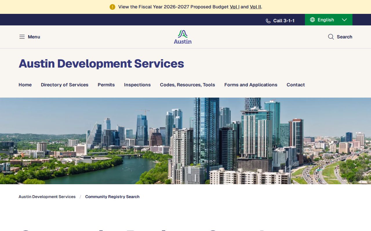
Austin's Community Registry search is a local model for finding organizations by name or five-digit ZIP. The form also allows a search with no text to list registered groups. It captures primary and secondary contacts, organization type, meeting details, household count, declared north, south, east, and west boundaries, phone numbers, and whether email may be published. The ZIP is based on the group's mailing address and may not match its map boundary; details are self-reported and updated by registrants.
The Austin registry page shows the organization and ZIP search choices.
A contact or boundary can help a person find a public meeting or the right civic group. It is not a list of member homes, and its mailing ZIP should not be used as a substitute for the organization's stated boundary. Treat this as an Austin-specific directory model, not a service that every Texas city maintains.
Texas Block Maps: San Antonio and Dallas
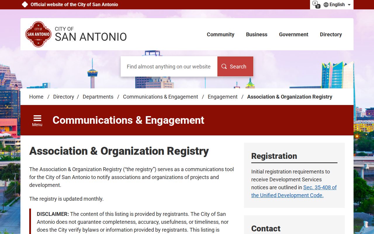
San Antonio's registry maps voluntary neighborhood associations, HOAs, and groups in a monthly listing; entries must be updated and renewed, and the city disclaims completeness. Association boundaries should not overlap, though HOA lines may overlap an association. Dallas's Neighborhood Organizations Map is also voluntary and not exhaustive; organizations define their own lines, and coalitions may join multiple groups.
Use each city registry for the limited purpose its custodian describes:
| Local directory model | Published layer | Limit to keep in view |
|---|---|---|
| Austin Community Registry | Organization contacts, meetings, type, and declared boundaries | ZIP follows mailing address; information is voluntary and self-reported |
| San Antonio registry | Association/HOA boundary and contact information; monthly listing | Voluntary registration; city disclaims completeness and accuracy |
| Dallas organizations map | Neighborhood groups, HOAs, coalitions, and overlapping boundaries | Voluntary and not exhaustive; each group sets its boundary |
The San Antonio registry page explains its boundary and update process.
Contacts and declared boundaries point to group information, not member homes. A recorded HOA declaration or plat may show covenants, lot lines, or a management contact, but not private membership. Texas cities may publish no comparable registry, and planning-notice contacts do not prove household participation.
Texas Permit Buffers Are Local Clues
Austin's Property Profile guide documents 250-, 500-, and 1,000-foot filters, with separate tabs for issued building, electrical, mechanical, plumbing, other, and address results. No statewide block-buffer search exists; keep the permit number, address, status, and date, then confirm them with the local custodian.
Houston's permit search help lists street-block, address, ZIP, owner or contractor, status, and date filters. These are city-specific fields. A permit buffer may cross a road or group boundary and describes work at a place, not its neighbors.
Official Texas Rolls and Compiled Neighbor Tools
A CAD describes an appraisal parcel, a clerk index records instruments, and a city registry lists groups that chose to register. Commercial lookup profiles compile data from records of varying dates; treat any suggested name or parcel as a lead to verify with its original custodian.
| Source type | Useful for | What it cannot safely establish |
|---|---|---|
| Official CAD, GIS, clerk, or city registry | Checking the custodian's current parcel, deed, map, or group record | Every resident or member at an address |
| Commercial compiled lookup | Finding leads that may point back to a public record | A complete or current block roster; whether an owner occupies a parcel |
Local access may be through a CAD account search, clerk terminal, copy, deed book, or microfilm. For a commercial profile, use its own opt-out route, keep the confirmation, and recheck later. The Texas data-broker registry lists covered registrants; it is not a statewide opt-out and does not change source records.
Texas Neighbors and Private Details Beyond Maps
A block map does not expose every person at an address, private HOA members, or restricted DMV fields. The Texas Attorney General's Address Confidentiality Program gives eligible participants a substitute mailing address and forwarding service under its rules. Texas also has voter-address and real-property privacy processes; their scope depends on eligibility and custodian.
Read a missing or changed field as a privacy boundary, not a reason to reconstruct an address from nearby parcels. Confirm public records with their custodian and respect any confidentiality mark.
Lawful use. Public records can support personal, civic, and historical research. Do not use an address or name to watch, threaten, intimidate, or harass another person.