
Texas ZIP Coverage Classes
A statewide ZIP map has several kinds of postal areas, not one tidy set of city neighborhoods. A ZIP can cover a standard delivery route, a rural community, PO boxes, a single institution, or addresses that cross city and county lines. The examples below show those different classes. They are reference points, not a list of every postal code serving Texas; the current delivery city and ZIP must be checked for an address.
| ZIP / Class | Texas Areas or Examples | Post Office | Boundary Note |
|---|---|---|---|
| City-style delivery examples | Austin 73301 and 78701; Dallas 75201; Houston 77001; San Antonio 78201 | Confirm returned station or city in USPS | Examples only; delivery routes are not city limits |
| Rural or community ZIPs | County and rural routes statewide | Postal community shown by USPS | Mailing city may differ from incorporated place |
| PO-box or unique ZIPs | Post-office boxes and institutional delivery points | Assigned post office or institution | May have no neighborhood-shaped ZCTA |
| Crossing boundaries | Suburbs and unincorporated areas near city or county edges | Postal name follows delivery service | Check county GIS and CAD for legal jurisdiction |
The Census Bureau counted 1,939 Texas ZCTAs in its 2020 geography, but ZCTAs are not the USPS ZIP inventory. Some valid ZIPs have no ZCTA, and a ZIP may represent PO boxes or an institution rather than a broad neighborhood. No official static source in the research supplied a current exhaustive Texas ZIP table for 2026. The live USPS result, not an old count or an example list, controls present delivery details.
Verify a Texas ZIP Address
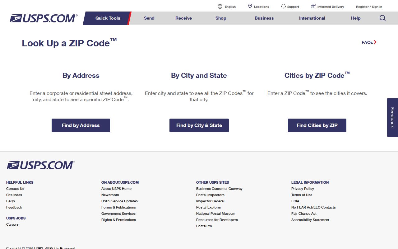
The USPS ZIP Code Lookup has an address mode and a reverse ZIP mode. For an address, enter the street line, city, and state; the result supplies the postal city and ZIP recognized for delivery. For a reverse search, enter a ZIP and use the returned postal details as a mailing reference. Apartment or unit handling depends on what USPS recognizes for that delivery point.
The form’s controls are useful for checking what a postal result can answer:
| Field or mode | What to enter or read | Limit |
|---|---|---|
| Find by Address | Select address mode; provide street, city, and state. | Use a full delivery point when available. |
| Street Address | House number, street, and recognized unit. | Postal matching does not verify a parcel owner. |
| City and State | Pair the city name with state selection. | Postal city may differ from a municipality. |
| Find by ZIP Code | Switch to reverse ZIP mode. | Returned city or station is postal information. |
| ZIP Code | Enter the five-digit code or supported ZIP+4. | It does not return a legal city boundary. |
| Find or Search | Submit the address or ZIP. | Live USPS results control current delivery data. |
The USPS address lookup is the official source for the postal city and ZIP shown in a delivery search.
That result helps normalize a mailing address. It does not identify an owner, voter, court, or county office; route those questions through the physical parcel and local custodian.
Texas Parcel Searches by ZIP
County appraisal databases are the next step when the question concerns a parcel or owner. The Texas Comptroller’s directory routes a search to one of 254 local appraisal districts, and Tax Code §26.17 requires public databases searchable by owner and address. A ZIP field is optional and local, not a statewide standard. Some systems accept city or ZIP; others require an owner, street address, parcel number, or legal description instead.
Research captured these common CAD search controls and output fields. Treat the ZIP row as conditional on the county portal:
| CAD field or control | Use | Texas-specific note |
|---|---|---|
| Owner name | Search surname, first name, or entity. | Partial and exact matching vary by district. |
| Situs address | Search the physical parcel address. | Keep unit, street spelling, and county. |
| Account or parcel ID | Open a known property record. | Useful link to GIS and tax details. |
| Legal description | Search lot, block, subdivision, or survey. | Older property records may rely on this key. |
| City or ZIP | Filter only when a local portal offers it. | Not required uniformly by state law. |
| Result fields | Owner, mailing and situs address, value, exemptions, taxing units. | Does not list all people who use the property. |
The Comptroller’s county directory identifies the appraisal district for the county in which the physical parcel lies. A ZIP-wide result from one district covers that district’s records only, not every matching address across Texas.
Find Records by Texas ZIP
A ZIP search is a routing aid. Save the postal result beside the physical address, then decide which record keeper can answer the next question. Do not treat tax mail, postal delivery, and residence as interchangeable. Use this sequence for one address or a bounded local search:
- Verify a full address with USPS and record the returned postal city and ZIP.
- Compare the point with Census ZCTA and local city or county GIS, noting any mismatch, PO Box, or institutional ZIP.
- Use the physical parcel to select the county appraisal district, clerk, court, registrar, or 9-1-1 addressing office.
- Use a CAD ZIP filter only if the district provides one, and record whether it returns parcels, owners, or tax information.
- Check a permit or community registry by ZIP only as a limited local result, not a resident roster.
- For a historical household, search by old city, county, street, or rural route because modern ZIPs began in 1963.
After the county and parcel are clear, the Texas street directory approach follows an address into CAD, GIS, deed, and permit records. That street-level chain is where a ZIP search should hand off.
ZIP Lines and Texas Boundaries
ZIP Codes describe USPS delivery assignments. They are not legal city limits, county lines, parcel borders, or emergency-service areas. A suburban address may use a nearby city as its postal name while sitting outside that municipality; a large city may contain several postal names. County appraisal, deed, court, and voter records follow their own jurisdiction rules, so a ZIP filter can omit records held by a neighboring county.
Keep these terms separate while comparing a Texas address:
- ZIP and ZIP+4
- The five-digit ZIP names a delivery area; the four added digits refine delivery toward a route, building, or delivery segment.
- PO-box ZIP
- A postal code assigned to a post office box route. It may identify a mailing location rather than the parcel’s physical place.
- Unique ZIP
- A code assigned to a single large institution or delivery point, not a general neighborhood.
- Carrier route
- A postal delivery route inside a ZIP. It is a mail-service unit, not a city or county boundary.
Use county GIS or CAD for a property boundary, municipal tools for jurisdiction or annexation, and USPS for current deliverability. Each map answers a different question.
Texas ZIP Codes and ZCTAs
The Census Bureau turns postal ZIP information into statistical polygons called ZIP Code Tabulation Areas, or ZCTAs. Its 2020 guide counted 1,939 ZCTAs in Texas. That figure describes the 2020 Census geography only; it is not a current count of USPS delivery codes and must not be presented as an exhaustive 2026 ZIP inventory.
The Census ZCTA guidance says these polygons generalize ZIP delivery points and may be noncontiguous, include enclaves, represent PO boxes or unique institutions, and leave out some valid ZIPs. That means USPS, Census, and county records can disagree without any one of them being wrong: one handles mail, one supports statistics, and one covers parcels in its jurisdiction. This comparison is the reason to preserve both the address and the source’s geographic key.
Use ZCTAs to map Census statistics, not to assign a county record. When a ZIP has no ZCTA, its absence from a Census map does not prove it is invalid; confirm it with USPS.
Austin and Houston ZIP Searches
Texas city portals show why the same ZIP field can mean different things. Austin’s Community Registry search accepts an organization name or ZIP, but the ZIP indexes the organization’s mailing address and may not match the group’s actual service boundary. The registry is a voluntary community-contact layer, not a directory of members or households.
Houston’s permit search help includes ZIP among local permit-search options. A permit result can identify a project or applicant connected with an address, not everyone living there. These are examples from Austin and Houston, not claims that every Texas city offers ZIP filters or that either system provides a statewide record set.
When a local portal has no ZIP field, search its own address, parcel, or case key instead of forcing a postal filter onto it. Keep the city name and county alongside the result so later searches go to the right custodian.
Texas Postal Names and Roads
One Texas address can carry a highway number, a local street name, and a postal city at once. TxDOT says municipalities control their streets, while a county cannot rename a numbered state highway. A city may give a local street name to a segment by ordinance and notify the TxDOT district. This matters when an older record uses a route number but USPS, a CAD, or a directory uses another label.
The Texas Geographic Information Office explains that local city and county address points are aggregated for planning and emergency communications. The authoritative point is maintained locally by the 9-1-1 coordinator or addressing authority, not by USPS or the state GIS office. Rural address systems can follow a road for emergency routing, while municipal grids may use blocks, quadrants, renaming ordinances, or annexation history.
When a postal name or road label conflicts, compare the current local address point, street-name records, annexation history, subdivision plat, and county parcel record. Then use USPS to confirm the mail label without letting that label settle jurisdiction.
Limits on a Texas ZIP Search
A ZIP-wide property search can return owner and tax records, but it cannot list all occupants. A mailing address may sit outside the property’s county, and a tax record’s situs is the parcel location, not proof of who is home. A permit search may show an applicant or contractor. An Austin association entry may use the organization’s mailing ZIP. State those limits when comparing results.
Voter data has a different route. VoteTexas is an individual status lookup, while full county or statewide lists require a Chapter 18 request and carry use restrictions. Texas voter privacy rules protect Social Security, driver’s-license, and DPS ID numbers, and qualifying people may have a suppressed or substituted address. A ZIP query should never be used to reconstruct a protected voter’s location.
Respect the boundary. A postal area is not a resident roll. Use Texas records for lawful research, respect protected addresses, and verify every match with its custodian.
A useful ZIP code directory ends by handing each question to the proper record keeper: USPS for delivery, Census for ZCTA statistics, local GIS for boundaries, and the county custodian for parcel or court records.